People have a fascination with drawing lines. Lines help us navigate from point A to point B, establish boundaries that signify property ownership, provide visual meaning to abstract forms, illustrate how objects relate to one another in space and create a grid system on Ordnance Survey maps.
But what about imaginary lines? These include leading lines that guide the viewer's eye, ley lines that connect three or more prehistoric or ancient sites and meridians, or lines of longitude that run vertically from the North Pole to the South Pole.
In "0° lon" photographer Estelle Slegers Helsen explored the places in England where the prime meridian, also known as the Greenwich Meridian, a standard reference in geography and navigation, makes landfall or exits the land. During the spring and summer of 2025, she travelled to Tunstall and Sunk Island in the East Riding of Yorkshire, Cleethorpes in Lincolnshire and Peacehaven in East Sussex.
At each location, she made three photographs: the location itself in colour, and the views at 0° north and 180° south, both in black-and-white.
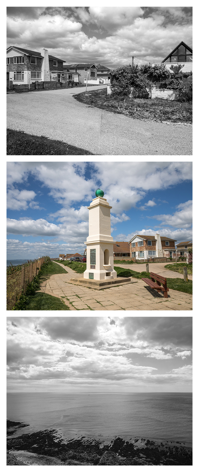
0° N | Peacehaven, East Sussex - 50°47'23" N 0°0'6" W | 180° S